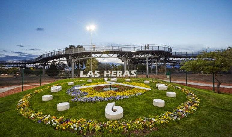
Las Heras is a village of the steppe. It emerged as part of a railway project that was proposing to join the Atlantic coast Santácruceña with the mountain range: the Patagonian Railway.

The Patagonian railway was a very ambitious project that remained unfinished very early. Its construction began in 1909 and already for 1914 the investment was suspended. He managed to get from Puerto desired to Las Heras, Punta de Rieles, 320 km.
The lack of investment first and then the definitive closure in the 70s marked the reality of the peoples and places of their journey. Las Heras managed to survive, but there were many who disappeared.
Starting in mid-1950s, with the discovery of oil and the rise of exploitation activities, Las Heras becomes a municipality.
Today the Heels form along with Caleta Olivia and a truncated peak a triangle of urban population in the north of the province of Santa Cruz.
Las Heras is one of the most important populations in the interior of the province for being a center of a large oil area led by truncated peak. As for its climate, it presents marked seasonal contrasts. Little humidity and significant daily changes characterize this city of sunny summers and very cold winters.
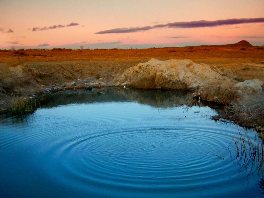
The regional landscape is mainly composed of patagonized plateau, almost always of fragmented basalt coated with sediment. The vegetation consists of herbs and xerophilic bushes that in the guns and valleys become shrubs and give rise to humid places.

It is said that before the heras is called, it was known as the name of “ostrich trace”, but it is a fact that can not be corroborated. The denomination or confusion with this peculiar name is due possibly to a place, distant about 35 km from the current railroad station, which corresponds to a stay called “the trace”, prior to the creation of the pastoril colony in 1908. The place, known as the trace of the ostrich, served from a resting place when the roads were only traveled by indigenous people, during their hunts of ostriches and guanacos, by people on horseback and by those who did crossings in carts, allowing these travelers, Find fresh water and a place to shelter where overnight. It is believed that this road would be part of an old Indian route that arrived to Lake Buenos Aires.

